Geomotion Cloud is a cloud based software package designed to streamline critical data management for construction and instrumentation projects of all sizes with unparalleled configurability, Geomotion Cloud flexible architecture and pricing means that the system may be adapted to suit every project and budget.
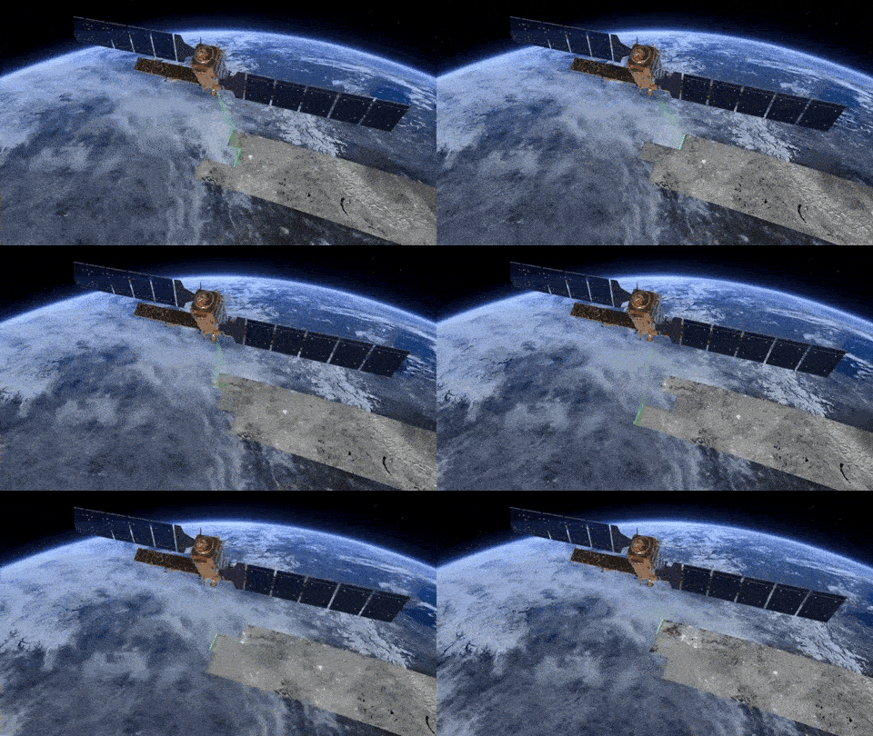
InSAR stands for Interferometric Synthetic Aperture Radar and is a proven technique for measuring ground movements. Satellites record images of the earth, and these images can be combined to measure movements of the ground surface. InSAR Monitoring provides subsidence measurements of single buildings, bridges, mines, whole neighbourhoods and areas up to 10,000 km2.

